Strategically located at the southern point of Virginia’s southernmost peninsula – Fort Monroe was established in 1836 to protect the Chesapeake Bay and the many rivers flowing into it. It served in this capacity until it was disarmed in 1946. It was still an active military base until 2011 and has a very rich history. The Fort Monroe Visitor and Education Center (FMVEC) has more information including guided maps for a walking tour. You can also pick up your ticket for a free visit to the Casemate Museum.
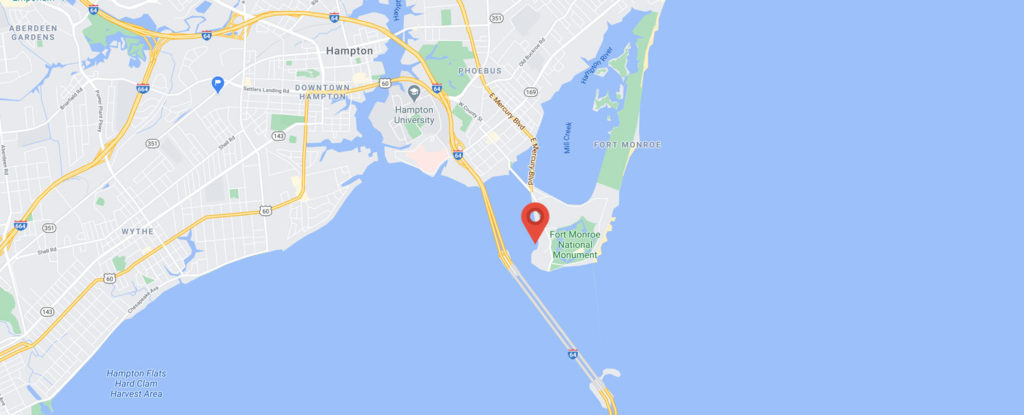
The Old Point Comfort Marina is located on Fort Monroe as is the Old Point Comfort Lighthouse. To get here, take Exit 268 (169 East Mallory St/Ft Monroe). NOTE: It is the last exit prior to entering the Hampton Roads Bridge Tunnel if you are heading east and the first exit after leaving the Hampton Roads Bridge Tunnel if you are heading west. Turn left at the light onto S Mallory St (0.1 miles). Turn right at the light onto E Mellen St and continue (approximately 0.6 miles) over a small bridge and causeway onto the Fort Monroe Peninsula. At the light take the right fork (McNair Rd) and you will see the Marina straight ahead. Take the first left onto Hampton Street and use the parking lot on the right directly across from the marina. The boat is located on G dock.